The Process
Mission Planning
Key to the process is quality data collection.
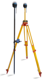
I use an RTK system that provides high accuracy
datasets to 20mm positioning.
I review my old maps then plan the level of definition required based on topography, access restrictions, risk and obsticles (Trees).
I create an elevation distribution
map to the intended area and plan my GCP's.
You must have permissions to fly and relevant flight certifications.
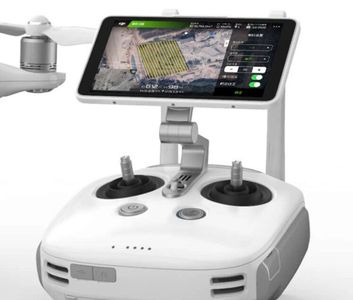
Mission Programming
Once you have reviewed site details,I offline program the flight mission. Care needs to be taken regarding non involved persons and encroachment on to non permissioned lands. You must abide to CAA regulations at all times.
Data Collection
Surveying control points aids the process accuracy. This also allows you to collect key pominent positions that you may want to reference during the study.

We support your Projects